Welcome to Kimberley
Baku, Daintree Rainforest, Douglas Shire
Kimberley - Daintree Coast
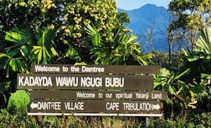
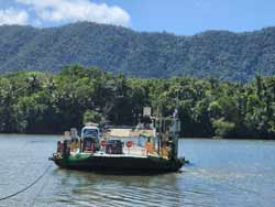
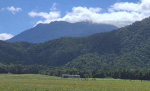
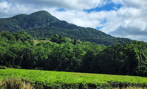
Located between the Daintree River Ferry and Alexandra Range you will find the beautiful and peaceful area of Kimberley.
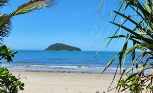
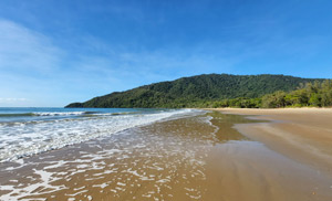
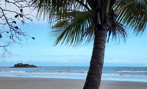
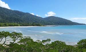
At the end of Cape Kimberley Road is the picturesque Cape Kimberley beach. A stunning panorama overlooking Snapper Island offshore, a long length of soft white sand stretching to the Daintree river mouth with views of sweeping headlands to Port Douglas in the distance.
On a clear day you can see the Low Isles on the horizon to the right of Snapper Island.
Nice Drive
Stunning Beach
Beach Walk / Hike
Visit Kimberley, Daintree Rainforest
- The walk from Cape Kimberley beach carpark entrance to the Daintree river mouth is approx 2.5km each way. Wear sun protection and take drinking water with you. It's well worth the walk.
- Like the locals, take a bag with you on your beach walk to collect any bits of plastic or rubbish you may find washed ashore. Not only are you helping to keep the waterways clean, you might find some interesting bits of treasure! Some items have travelled great distances across oceans. You'll need to dispose of your rubbish elsewhere as there are no bins available here.
- Stinger season is November to May and remember to be croc wise in croc country.
Kimberley History
28 people currently reside in Kimberley (2021 census).
Cape Kimberley was named by explorer, public servant and politician, George Elphinstone Dalrymple on 24 October 1873, after John Wodehouse, First Earl of Kimberley (1826-1902) Secretary of State for the Colonies 1870-74, 1880-82. (source).
About Snapper Island
Snapper Island is 66 hectares or 0.66 square km in size and is part of the traditional sea country of the Kuku Yalanji Aboriginal people.
In the early 1900s, Jerry Doyle operated a lime kiln on the island, fired by wood from the Daintree, ferried over on vessel ‘Nellie’. Beche-de-mer (sea cucumbers) processing (boiling) may also have been undertaken here. There is evidence of remains of an early Chinese market garden on the island, the watercourse stonework is still visible today. (source).
Snapper Island was named by Lieutenant Charles Jeffreys RN in June 1815.
It is said Snapper Island was named as it resembles a crocodile in shape when viewed length-ways.
Bush camping is available at West Point at Snapper Island camping area. The camping area provides limited facilities and campers must be self-sufficient. Camping permits are required.
